

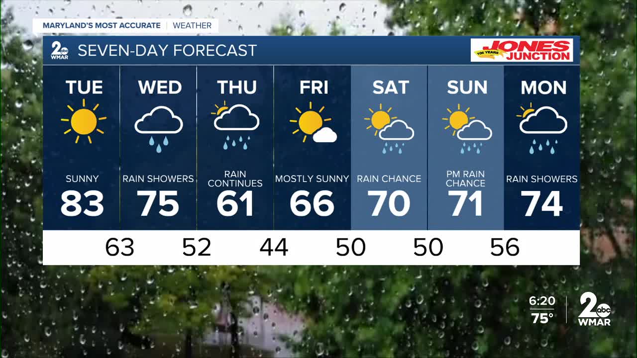


BALTIMORE — Tuesday will be breezy and very dry as temperatures warm up. Winds from the south-southwest are expected to gust as high as 35 mph during the afternoon. With humidity levels dropping into the mid-20s and dry fuels on the ground, a Special Weather Statement is in effect for an enhanced fire weather threat. Please be cautious with any outdoor ignition sources as vegetation is still dry.
Rain returns on Wednesday as a front moves into the region. Expect widespread showers and a few thunderstorms from Wednesday morning through the evening, bringing between a quarter to a half inch of beneficial rainfall. Another round of light rain is likely on Thursday, adding another tenth to a quarter inch of moisture. Temperatures will trend cooler on Thursday before a slight warm-up begins heading into the weekend.

7 Day Forecast:
Tuesday Mostly sunny, with a high near 83.
Tuesday Night A chance of showers. Mostly cloudy, with a low around 63.
Wednesday Showers, with thunderstorms. High near 75.
Wednesday Night Showers likely and possibly a thunderstorm. Mostly cloudy, with a low around 52.
Thursday Showers. High near 61.
Thursday Night Showers likely. Partly cloudy, with a low around 44.
Friday Sunny, with a high near 66.
Friday Night Partly cloudy, with a low around 50.
Saturday A chance of showers. Partly sunny, with a high near 70.
Saturday Night A chance of showers. Partly cloudy, with a low around 50.
Sunday Partly sunny, with a high near 71.
Sunday Night A chance of showers. Mostly cloudy, with a low around 56.
Monday Showers likely. Partly sunny, with a high near 74.

