

Good Sunday evening! I'm Meteorologist Dylan Robichaud, and we've got a busy night of weather on our hands!
A strong front will bring showers and storms to the region tonight, with a few storms becoming strong to severe. Here's what you need to know!
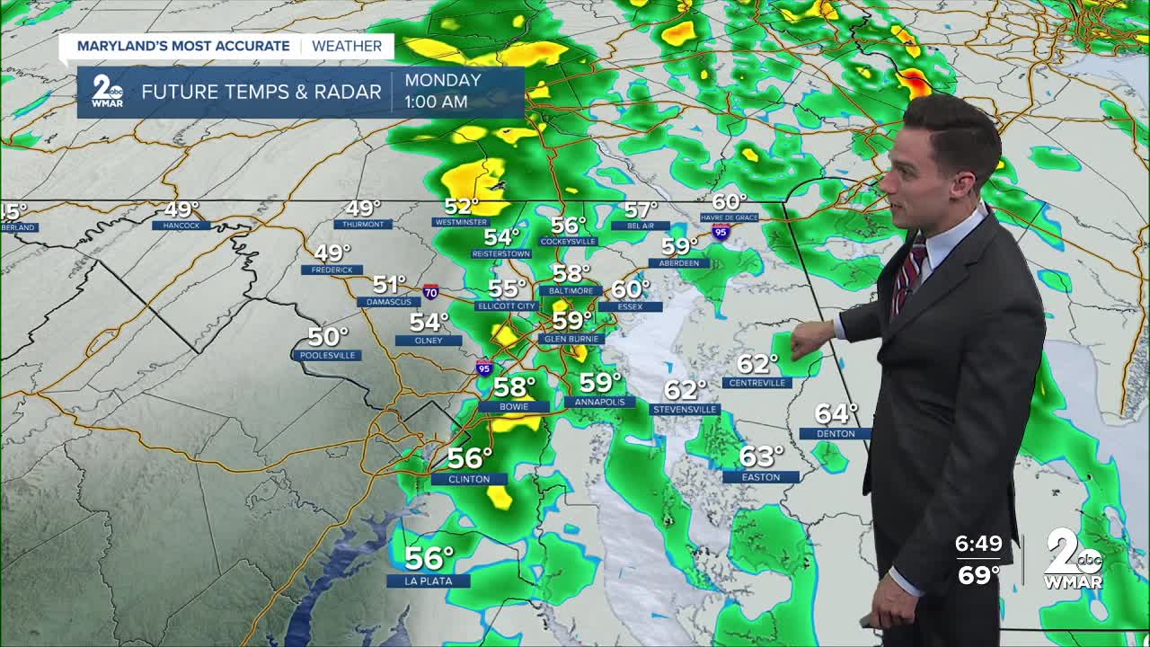
• Timing: 7:00 PM until 1:00 AM
• Biggest threat(s): Wind gusts to 35 mph
• Although unlikely, a weak spin-up tornado cannot be ruled out

Looking ahead to Monday - the sunshine is back and the temperatures cool down a little!
Another fast moving system will slide in Tuesday night, which will likely generate a few showers after sunset, however, the rain will be gone by Wednesday morning.
A big cool down is in store towards Thursday and Friday, as nighttime lows drop to the middle 30s for a good chunk of the state!

Monday
Sunny, with a high near 65. West wind 10 to 15 mph, with gusts as high as 25 mph.
Tuesday
Sunny, with a high near 70. Light southwest wind becoming south 5 to 10 mph in the morning. Winds could gust as high as 18 mph.
Wednesday
Mostly sunny, with a high near 63.
Thursday
Sunny, with a high near 61.
Friday
Sunny, with a high near 61.
Saturday
Partly sunny, with a high near 62.
Sunday
Scattered showers. Mostly cloudy, with a high near 62. Chance of precipitation is 30%.

