

Good Sunday night!
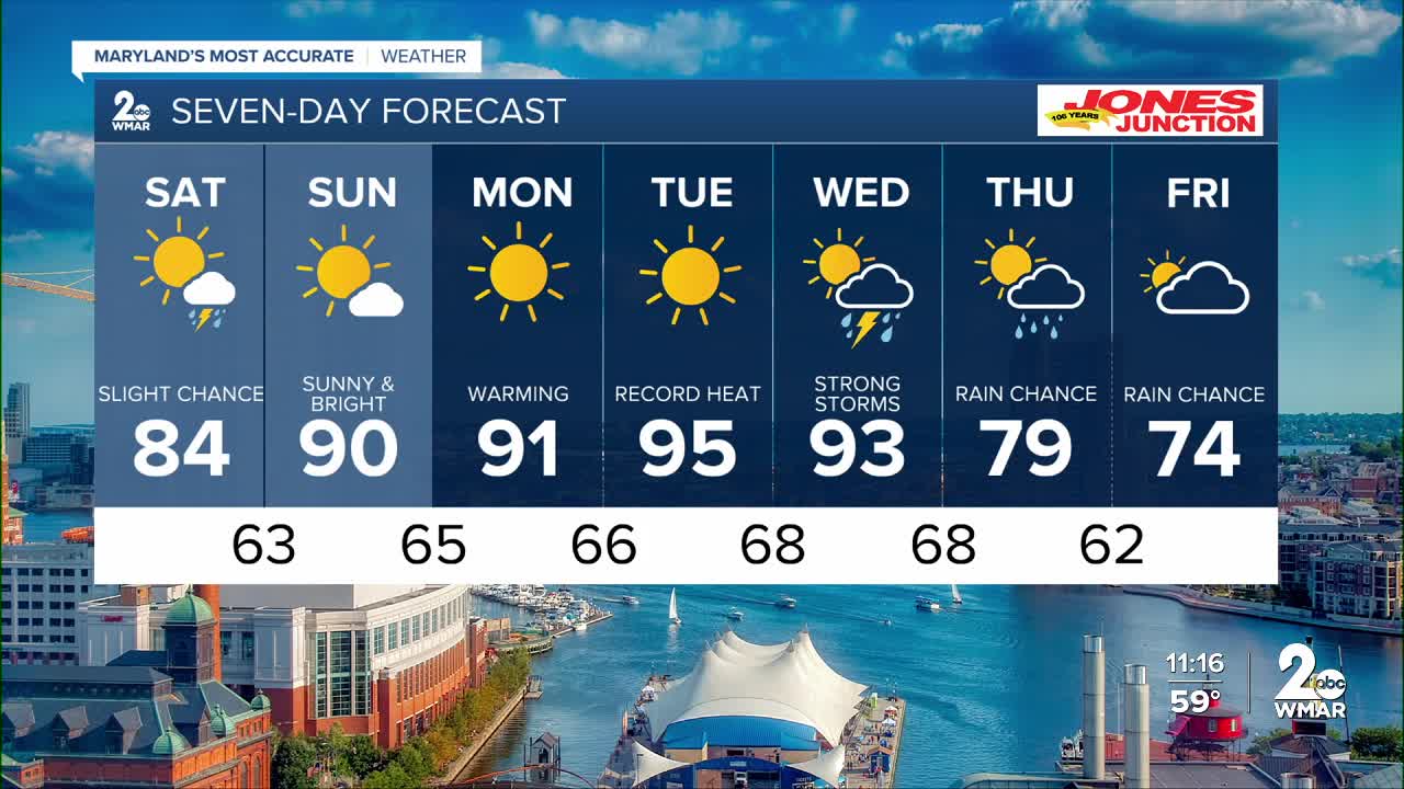
Summer-like heat builds Monday through Wednesday with highs well into the 90s — hottest day looks to be Tuesday with heat indices around 100°. Most areas stay dry, but a few isolated afternoon/evening storms are possible over the mountains Monday and Tuesday.
A strong cold front arrives Wednesday, bringing the chance for showers and thunderstorms during the hottest part of the day. Some storms could become strong, though the severe threat remains uncertain. Much cooler weather follows late week, with highs dropping back into the upper 60s and 70s Thursday and Friday along with more clouds and periods of rain.
Dylan

Monday
Sunny, with a high near 94. Calm wind becoming south 5 to 8 mph in the afternoon.
Monday Night
Mostly clear, with a low around 70. South wind 5 to 8 mph.
Tuesday
Sunny, with a high near 96. Southwest wind 5 to 9 mph.
Tuesday Night
Mostly clear, with a low around 72. Southwest wind around 8 mph.
Wednesday
Showers and possibly a thunderstorm after 2pm. High near 94. Chance of precipitation is 90%.
Wednesday Night
Showers and possibly a thunderstorm before 8pm, then showers likely. Low around 59. Chance of precipitation is 80%.
Thursday
A chance of showers. Mostly cloudy, with a high near 71. Chance of precipitation is 40%.
Thursday Night
A chance of showers after 2am. Mostly cloudy, with a low around 53. Chance of precipitation is 40%.
Friday
A chance of showers. Mostly cloudy, with a high near 69. Chance of precipitation is 50%.
Friday Night
A chance of showers. Mostly cloudy, with a low around 55. Chance of precipitation is 50%.
Saturday
Showers likely. Mostly cloudy, with a high near 73. Chance of precipitation is 70%.
Saturday Night
Showers likely. Mostly cloudy, with a low around 59. Chance of precipitation is 60%.
Sunday
A chance of showers. Mostly cloudy, with a high near 78. Chance of precipitation is 50%.

