



BALTIMORE — Thunderstorms will favor southern Maryland and northern Virginia tonight, with the best chance for storms before 8 p.m. Storm threats include strong winds and localized flooding, especially in urban areas.
Thursday morning will bring clearing skies as the cold front moves south of the area. A secondary front arrives Thursday afternoon, helping to lower humidity levels by Friday.
After a week of dreary weather, sunshine returns and is expected to stick around through the end of the week and into the weekend!
Dylan

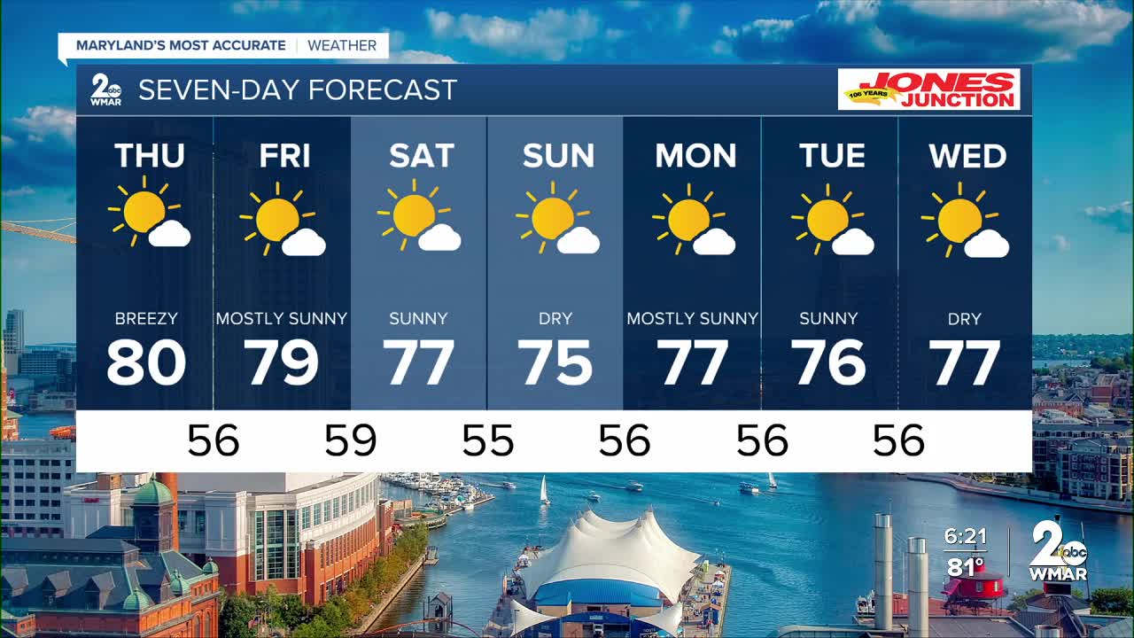
7 Day Forecast:
Thursday Mostly sunny, with a high near 80.
Thursday Night Mostly clear, with a low around 56.
Friday Sunny, with a high near 79.
Friday Night Mostly clear, with a low around 59.
Saturday Mostly sunny, with a high near 78.
Saturday Night Mostly clear, with a low around 55.
Sunday Sunny, with a high near 76.
Sunday Night Partly cloudy, with a low around 56.
Monday Mostly sunny, with a high near 77.
Monday Night Partly cloudy, with a low around 56.
Tuesday Mostly sunny, with a high near 76.
Tuesday Night Partly cloudy, with a low around 56.
Wednesday Mostly sunny, with a high near 76.

