



BALTIMORE — Good Monday night!
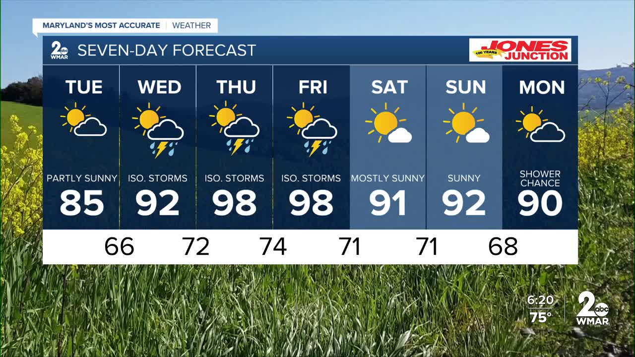
Clouds will be slow to break on Tuesday, although we should see a few intervals of sunshine throughout the day.
High pressure shifts offshore on Wednesday, allowing moisture to return and bringing back the chance for isolated showers and thunderstorms.
The greatest risk for severe weather this week appears to be Thursday and Friday afternoons. Strong daytime heating, increasing humidity, and an approaching cold front from the west will provide a favorable environment for strong to potentially severe storms.
We'll also turn up the heat significantly late this week. Highs on Thursday and Friday are expected to climb into the upper 90s. Unlike last week's relatively dry heat, humidity levels will be much higher, pushing heat index values close to 105°F.
Dylan

7 Day Forecast:
Tuesday Partly sunny, with a high near 85.
Tuesday Night Mostly cloudy, with a low around 66.
Wednesday A chance of showers, then possibly a thunderstorm. Mostly cloudy, with a high near 92.
Wednesday Night Showers likely and possibly a thunderstorm. Mostly cloudy, with a low around 72.
Thursday A chance of showers and thunderstorms. Mostly sunny and hot, with a high near 98.
Thursday Night A chance of showers and thunderstorms. Mostly cloudy, with a low around 74.
Friday A chance of showers and thunderstorms. Partly sunny and hot, with a high near 98.
Friday Night A chance of showers and thunderstorms. Mostly cloudy, with a low around 71.
Saturday Mostly sunny, with a high near 91.
Saturday Night Partly cloudy, with a low around 71.
Sunday Mostly sunny, with a high near 91.
Sunday Night A chance of showers. Mostly cloudy, with a low around 68.
Monday A chance of showers. Partly sunny, with a high near 89.

