


Today is a day where you want to stay weather aware. While skies are mostly cloudy right now, don't let your guard down! There is a threat for strong to severe thunderstorms this afternoon through mid-evening as a strong cold front charges into the region from the Great Lakes.
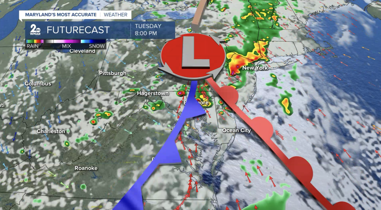
A Slight Risk (level 2/5) is issued for the entire area as damaging winds, large hail, heavy rain, and even an isolated tornado are all fair game. Timing for severe weather: 2-8 PM if we see enough breaks in the clouds this morning and midday! I wouldn't be surprised if we saw some lingering thundershowers slide through the area late tonight as the cold front makes its way through.
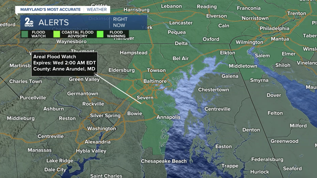
The National Weather Service issued a Flood Watch for portions of the area through late tonight as instances of flash flooding are possible around poor drainage and low-lying areas.
Have a way to receive weather alerts and stay safe out there!
StevieDanielsWX
Email: stevie.daniels@wmar.com
Facebook: www.facebook.com/StevieDanielsWX
X: www.twitter.com/StevieDanielsWX
Instagram & TikTok: stevie_daniels_

