


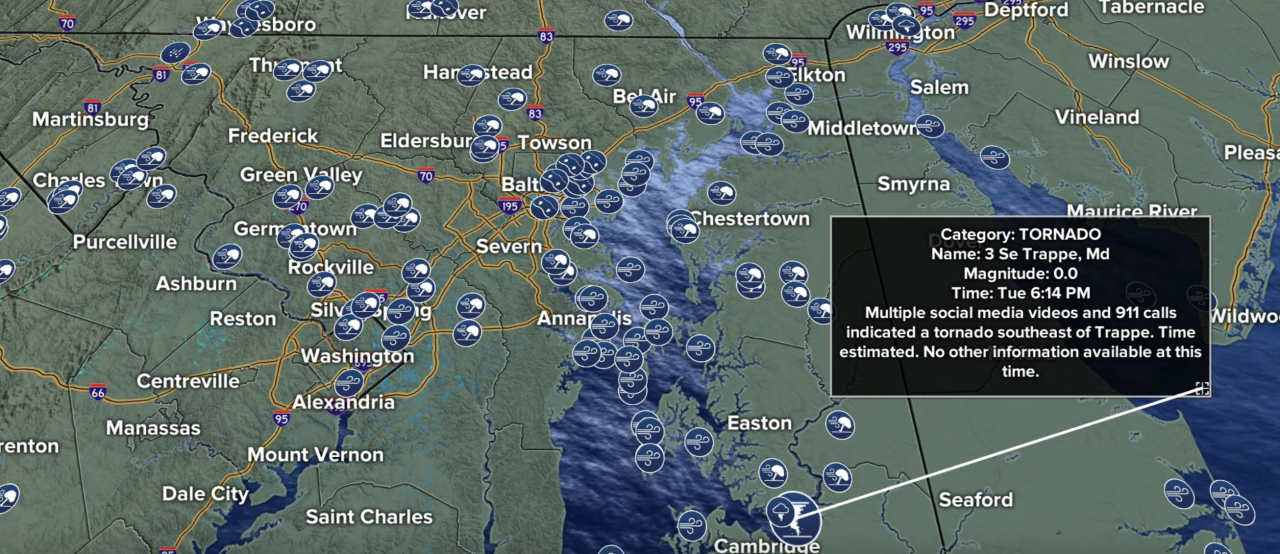
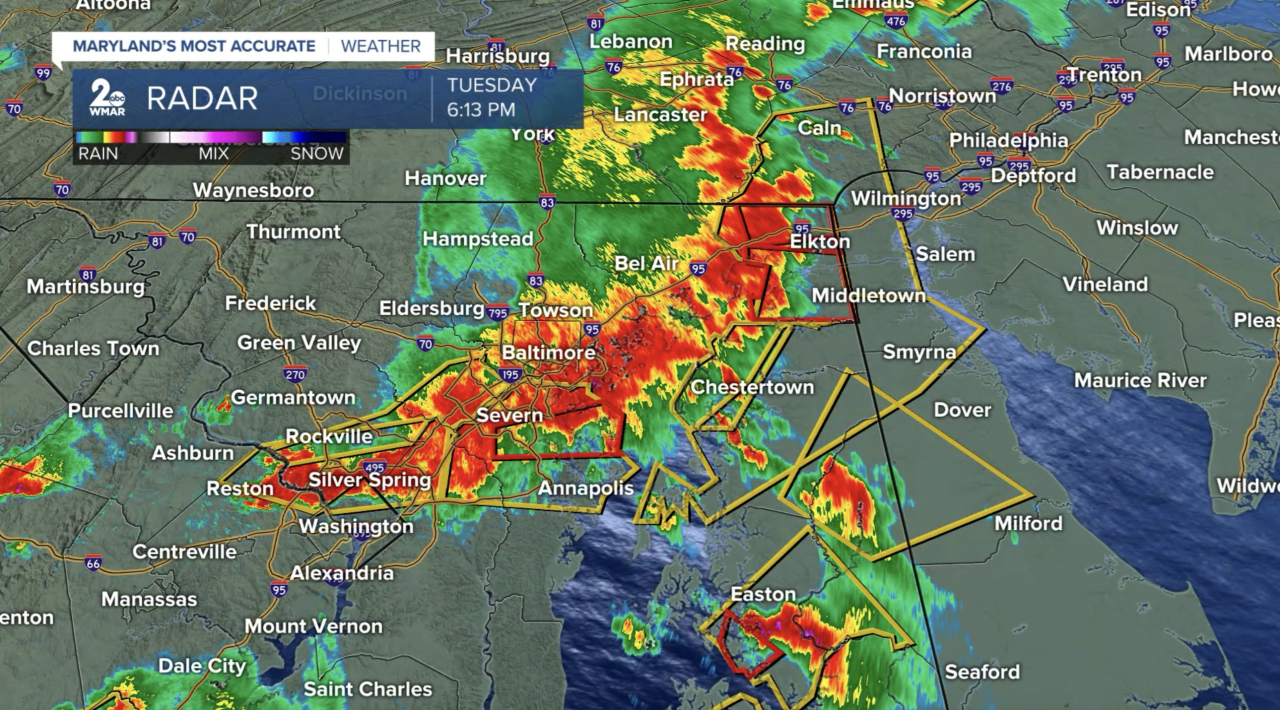
The storms that rolled through on the evening of July 28 were incredibly powerful. These storms left behind a significant amount of damage in their wake. The National Weather Service issued multiple Severe Thunderstorm Warnings, and shortly after 6 PM, several Tornado Warnings were also in effect as the strongest storms moved through. Multiple eyewitnesses saw a tornado moving through Trappe in Talbot county before 6:30 PM. The National Weather Service may send out some survey teams to assess the damage.
Around 1-3" of rain was measured over the past 24 hours! The highest rainfall totals were concentrated along and southeast of I-95!

Feel free to send us any storm damage photos to pix@wmar.com!
StevieDanielsWX
Email: stevie.daniels@wmar.com
Facebook: www.facebook.com/StevieDanielsWX
X: www.twitter.com/StevieDanielsWX
Instagram & TikTok: stevie_daniels_

