



BALTIMORE — Good Wednesday night!
High pressure will bring sunny skies, lower humidity, and below-normal temperatures through the rest of the week, making for a very comfortable stretch of summer weather.
The weekend looks dry as well, although we'll be keeping an eye on another plume of Canadian wildfire smoke. At this point, it appears much less significant than what we experienced last week. Our next chance for showers and thunderstorms returns Sunday night and continues at times through the middle of next week.
Dylan

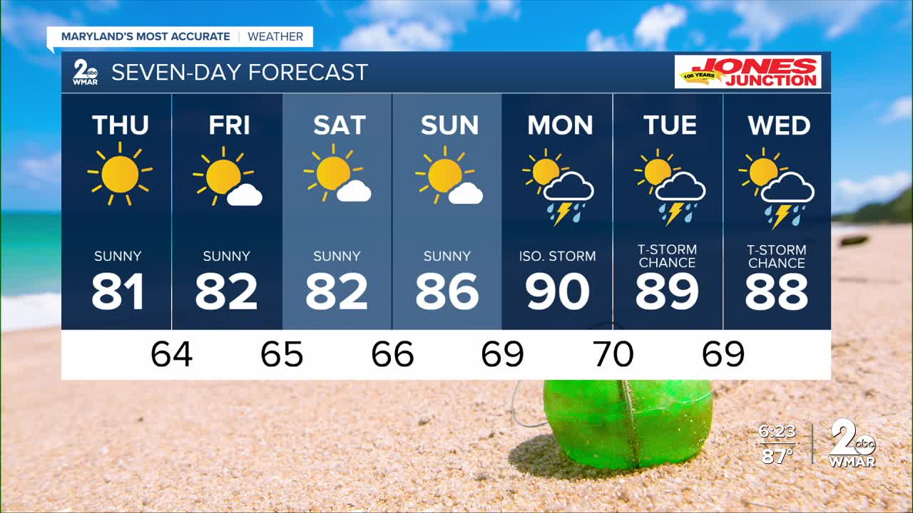
7 Day Forecast:
Thursday Partly sunny, then gradually becoming sunny, with a high near 81.
Thursday Night Mostly clear, with a low around 64.
Friday Sunny, with a high near 82.
Friday Night Mostly cloudy, with a low around 65.
Saturday Partly cloudy, with a high near 82.
Saturday Night Partly cloudy, with a low around 66.
Sunday Mostly sunny, with a high near 86.
Sunday Night Partly cloudy, with a low around 69.
Monday A chance of showers and thunderstorms. Mostly sunny, with a high near 90.
Monday Night A chance of showers and thunderstorms. Mostly cloudy, with a low around 70.
Tuesday A chance of showers and thunderstorms. Partly sunny, with a high near 89.
Tuesday Night A chance of showers and thunderstorms. Mostly cloudy, with a low around 69.
Wednesday A slight chance of showers and thunderstorms. Mostly sunny, with a high near 88.

