



BALTIMORE — Good Tuesday night!
The rain is finally moving out this evening, and we'll wake up to dry weather on Wednesday. While an isolated shower or thunderstorm can't be ruled out, the best chance will stay confined to far southern Maryland.
Looking ahead, a prolonged stretch of dry weather settles in Thursday and lasts through the weekend. Expect below-average temperatures, lower humidity, and plenty of sunshine.
One thing we'll be keeping an eye on is the return of west winds late this week, which could bring some Canadian wildfire smoke back into the region. Right now, it doesn't appear it will be anywhere near as significant as what we experienced last week.
Dylan

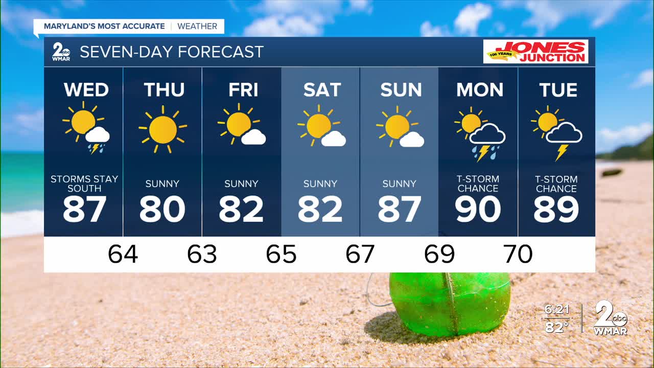
7 Day Forecast:
Wednesday A chance of showers and thunderstorms. Partly sunny, with a high near 87.
Wednesday Night A chance of showers and thunderstorms. Partly cloudy, with a low around 64.
Thursday Sunny, with a high near 80.
Thursday Night Mostly clear, with a low around 63.
Friday Sunny, with a high near 82.
Friday Night Mostly cloudy, with a low around 65.
Saturday Mostly sunny, with a high near 82.
Saturday Night Partly cloudy, with a low around 67.
Sunday Mostly sunny, with a high near 87.
Sunday Night Partly cloudy, with a low around 69.
Monday A chance of showers and thunderstorms. Mostly sunny, with a high near 90.
Monday Night
A chance of showers and thunderstorms. Mostly cloudy, with a low around 70.
Tuesday
A chance of showers and thunderstorms. Partly sunny, with a high near 89.

