

Happy Saturday! Showers and thunderstorms taper off this evening ahead of the cold front. Once the cold front slides through on Sunday, drier air works into the Mid-Atlantic region. Temperatures trend cooler early next week before the 90s make a comeback by Wednesday.
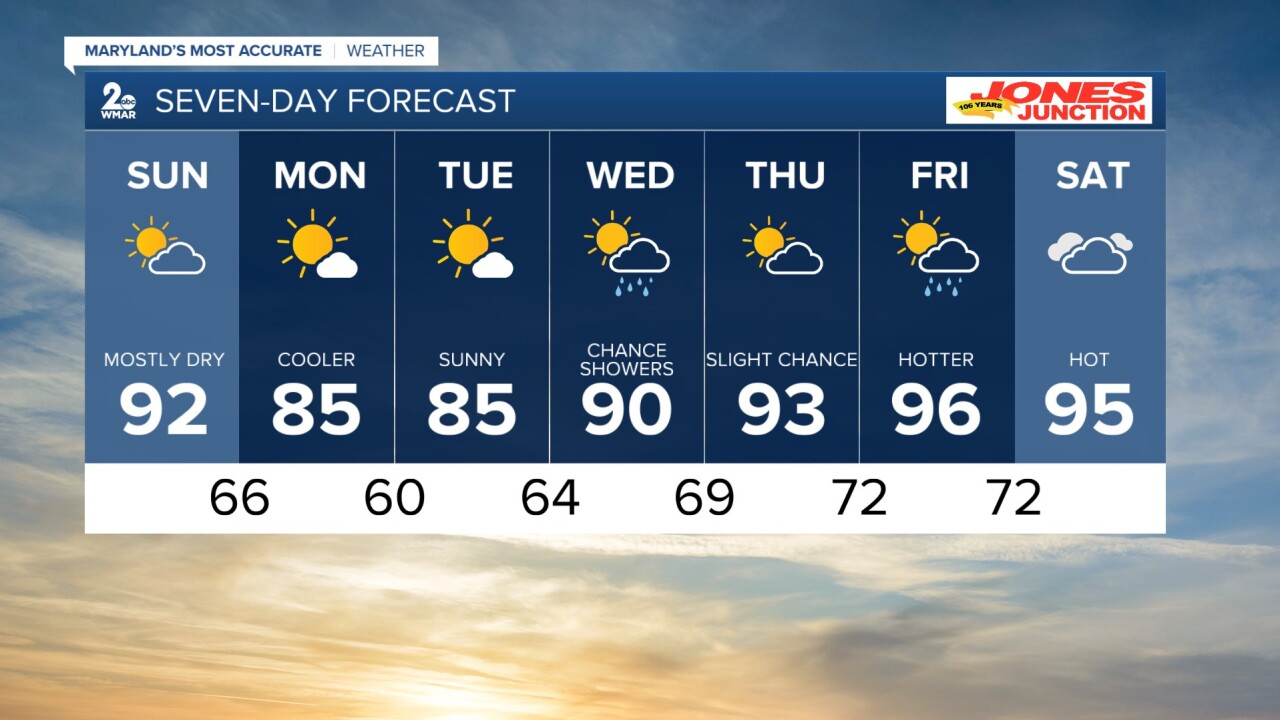
7 Day Forecast:
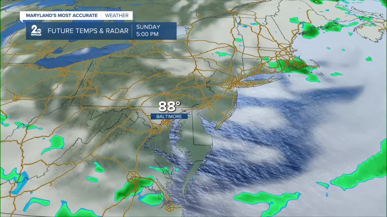
Sunday Sunny, with a high near 92. Northwest wind 5-10 mph.
Sunday Night Mostly clear, with a low around 66. North wind around 6 mph.
Monday Sunny, with a high near 85.
Monday Night Mostly clear, with a low around 60.
Tuesday Sunny, with a high near 85.
Tuesday Night Partly cloudy, with a low around 64.
Wednesday A chance of showers. Mostly sunny, with a high near 90.
Wednesday Night A chance of showers. Mostly cloudy, with a low around 69.
Thursday A chance of showers, with thunderstorms. Partly sunny, with a high near 93.
Thursday Night A chance of showers and thunderstorms. Partly cloudy, with a low around 72.
Friday A chance of showers and thunderstorms. Mostly sunny, with a high near 96.
Friday Night A chance of showers and thunderstorms. Mostly cloudy, with a low around 72.
Saturday A chance of showers, with a high near 95.

