


Good Sunday night!
The rain has come to an end, and aside from a few overnight sprinkles, we’ll stay mostly dry. Sunshine returns on Monday, but it will come with gusty winds. Expect a more fall-like feel over the next couple of days, with northerly winds, lower humidity, and cooler temperatures.
A Freeze Watch is in effect Monday night into Tuesday morning, as overnight lows are expected to drop between 29–32°F. This could pose a significant risk to sensitive crops and vegetation.
Our next chance of rain arrives Tuesday night into Wednesday as another disturbance moves through the region.
Dylan

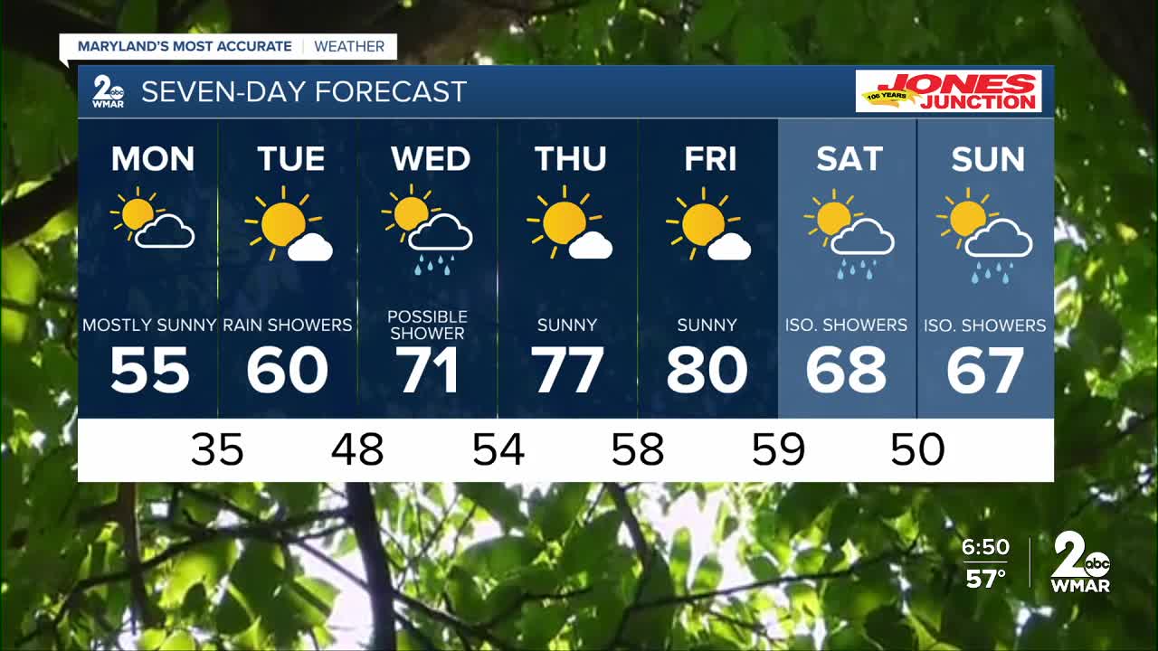
Monday
Scattered sprinkles. Mostly sunny, with a high near 55. Northwest wind 11 to 16 mph, with gusts as high as 24 mph.
Monday Night
Mostly clear, with a low around 33. North wind 6 to 9 mph.
Tuesday
Sunny, with a high near 59. Light and variable wind becoming south around 6 mph in the afternoon.
Tuesday Night
A chance of showers after 2am. Partly cloudy, with a low around 48. South wind around 9 mph. Chance of precipitation is 30%.
Wednesday
A chance of showers. Partly sunny, with a high near 72. Chance of precipitation is 50%.
Wednesday Night
Mostly clear, with a low around 52.
Thursday
Sunny, with a high near 77.
Thursday Night
Mostly clear, with a low around 55.
Friday
Sunny, with a high near 79.
Friday Night
A chance of showers. Partly cloudy, with a low around 56. Chance of precipitation is 30%.
Saturday
Showers likely. Mostly cloudy, with a high near 74. Chance of precipitation is 60%.
Saturday Night
Showers likely. Mostly cloudy, with a low around 51. Chance of precipitation is 60%.
Sunday
A chance of showers. Mostly cloudy, with a high near 64. Chance of precipitation is 40%.

