



BALTIMORE — Happy Wednesday!
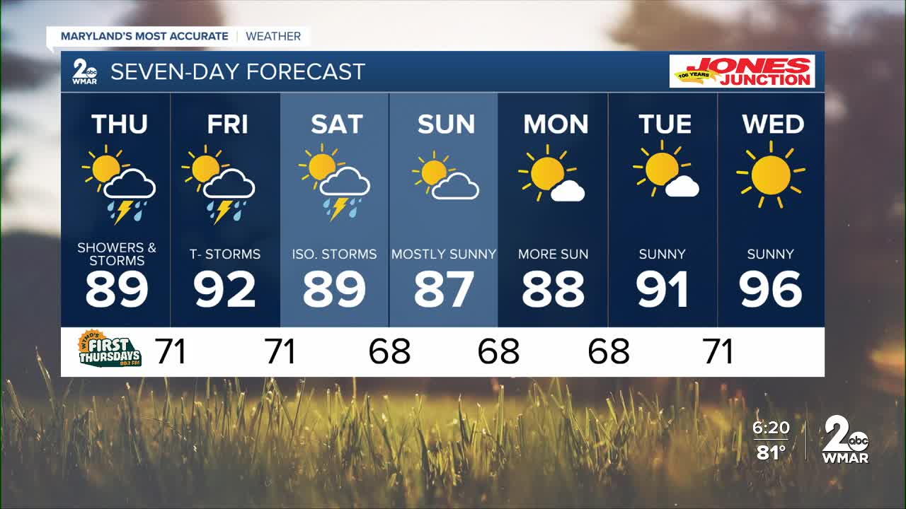
Mild and muggy for the evening, with spotty showers. Another round of rain and storms arrives Thursday and Friday with more humidity! The chance for rain and storms extends into the first half of the weekend, with highs in the upper-80s on Saturday and Sunday. It will feel more pleasant with drier skies early next week! More sunshine on Monday and Tuesday!
7 Day Forecast:
Today Patchy morning fog. Otherwise, partly sunny, with a high near 84. Northeast wind 5-10 mph.
Tonight Showers likely and possibly a thunderstorm. Mostly cloudy, with a low around 70. Southeast wind 5-10 mph.
Thursday Showers likely and possibly a thunderstorm. High near 89.
Thursday Night Showers and thunderstorms. Low around 71.
Friday A chance of showers and thunderstorms. Mostly sunny, with a high near 92.
Friday Night A chance of showers and thunderstorms. Mostly cloudy, with a low around 71.
Saturday A chance of showers and thunderstorms. Partly sunny, with a high near 89.
Saturday Night A chance of showers and thunderstorms. Mostly cloudy, with a low around 68.
Sunday A slight chance of showers and thunderstorms. Mostly sunny, with a high near 87.
Sunday Night A slight chance of showers and thunderstorms. Mostly cloudy, with a low around 68.
Monday Mostly sunny, with a high near 88.
Monday Night Mostly clear, with a low around 68.
Tuesday Sunny, with a high near 91.
Tuesday Night Mostly clear, with a low around 71.
Wednesday Sunny, with a high near 96.

