



BALTIMORE — Happy Tuesday!
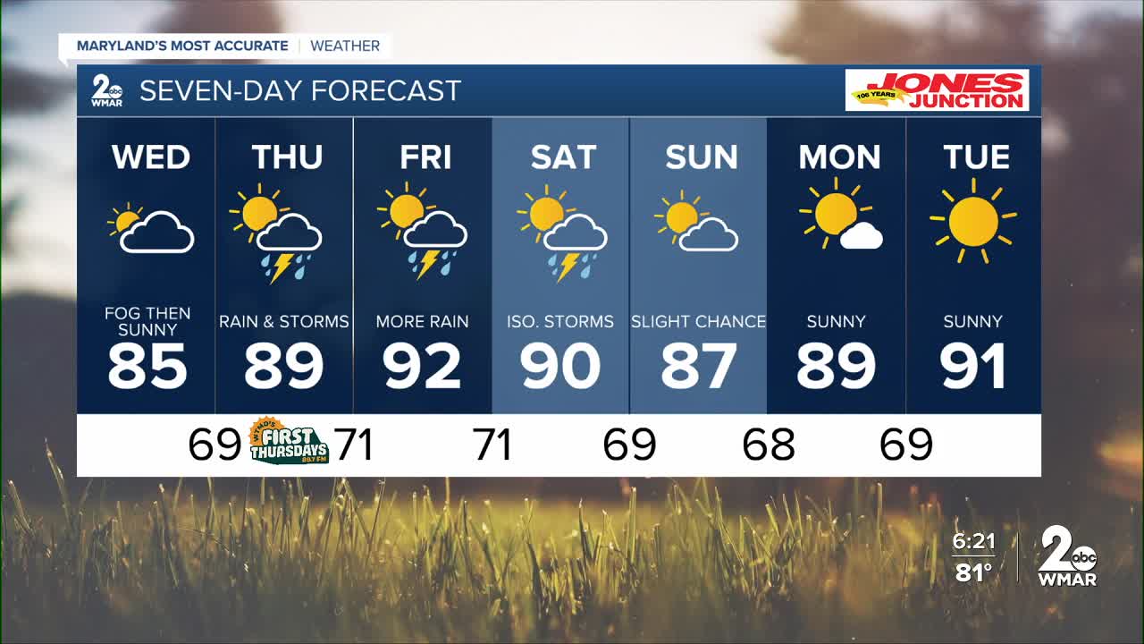
Additional spotty showers and thunderstorms are expected this evening. Isolated flooding around poor drainage/urban areas is most likely. Drier skies mid-week before another round of rain and storms arrives Thursday and Friday. The humidity will ramp up late-week before it gradually falls throughout the weekend and early next week.

7 Day Forecast:
Today A slight chance of showers and thunderstorms. Patchy fog. Otherwise, mostly cloudy, with a high near 84. Northeast wind around 5-10 mph.
Tonight Showers and thunderstorms likely. Mostly cloudy, with a low around 69. Northeast wind around 5-10 mph.
Wednesday A slight chance of showers. Partly sunny, with a high near 85.
Wednesday Night A chance of showers. Mostly cloudy, with a low around 69.
Thursday A chance of showers and thunderstorms. Mostly cloudy, with a high near 89.
Thursday Night Showers likely and possibly a thunderstorm. Mostly cloudy, with a low around 71.
Friday A chance of showers and thunderstorms. Mostly sunny, with a high near 92.
Friday Night A chance of showers and thunderstorms. Mostly cloudy, with a low around 71.
Saturday A chance of showers, with thunderstorms. Partly sunny, with a high near 90.
Saturday Night A chance of thunderstorms. Partly cloudy, with a low around 69.
Sunday Partly cloudy, with a high near 87.
Sunday Night Partly cloudy, with a low around 68.
Monday Mostly sunny, with a high near 89.
Monday Night Mostly clear, with a low around 69.
Tuesday Sunny, with a high near 91.

