



BALTIMORE — Good Tuesday night!
A Heat Advisory has been issued for Wednesday from 11 AM to 8 PM as heat index values climb to around 105°F. In addition to the dangerous heat, we'll also be monitoring a plume of wildfire smoke from Canada, which will lead to reduced air quality over the next several days.
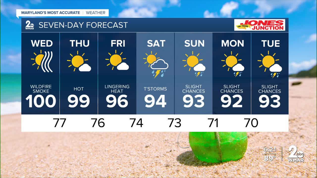
The hottest weather will be Wednesday, with above-average heat continuing through Friday. We'll stay dry for the remainder of the workweek before rain and storm chances return this weekend. Right now, Saturday appears to have the greatest chance for showers and thunderstorms as a shortwave disturbance moves across the Great Lakes.
Dylan

7 Day Forecast:
Wednesday Sunny and hot, with a high near 100. Heat index values as high as 106.
Wednesday Night Mostly clear, with a low around 77.
Thursday Sunny and hot, with a high near 99.
Thursday Night Partly cloudy, with a low around 76.
Friday Sunny and hot, with a high near 96.
Friday Night A slight chance of showers and thunderstorms. Partly cloudy, with a low around 74.
Saturday A chance of showers and thunderstorms. Mostly sunny, with a high near 94.
Saturday Night A chance of showers and thunderstorms. Mostly cloudy, with a low around 73.
Sunday A chance of showers and thunderstorms. Partly sunny, with a high near 91.
Sunday Night A chance of showers and thunderstorms. Mostly cloudy, with a low around 71.
Monday A chance of showers and thunderstorms. Partly cloudy, with a high near 92.
Monday Night A slight chance of showers and thunderstorms. Partly cloudy, with a low around 70.
Tuesday A chance of showers and thunderstorms. Partly sunny, with a high near 93.

