



BALTIMORE — Happy Wednesday!
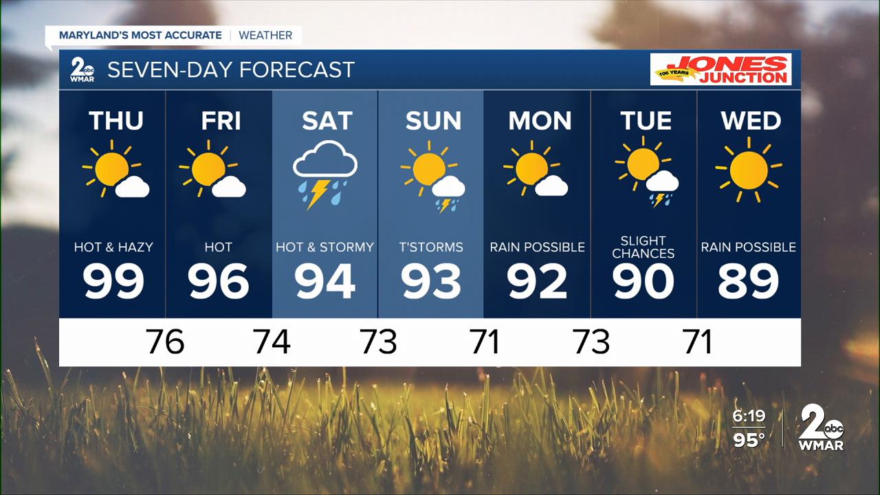
Skies will appear hazy due to wildfire smoke from Canada. This will lead to poor air quality over the next few days. High temperatures will gradually decline into the mid-90s this weekend, with an increased risk for showers and thunderstorms. Right now, Saturday appears to have the greatest chance for widespread thunderstorms during the afternoon and evening hours.
Stay cool!

7 Day Forecast:
Today Mostly sunny and hot, with a high near 100. Heat index values as high as 106. West wind 5-15 mph.
Tonight Partly cloudy, with a low around 78. West wind 5-10 mph.
Thursday A slight chance of showers and thunderstorm. Mostly sunny and hot, with a high near 99.
Thursday Night Partly cloudy, with a low around 76.
Friday Mostly sunny, with a high near 96.
Friday Night A chance of showers and thunderstorms. Partly cloudy, with a low around 74.
Saturday A chance of showers and thunderstorms. Mostly cloudy, with a high near 94.
Saturday Night Showers likely and possibly a thunderstorm. Mostly cloudy, with a low around 73.
Sunday A slight chance of showers, then a chance of showers and thunderstorms. Partly sunny, with a high near 93.
Sunday Night A chance of showers and thunderstorms. Partly cloudy, with a low around 71.
Monday A slight chance of showers and thunderstorms. Mostly sunny, with a high near 92.
Monday Night A slight chance of showers and thunderstorms. Partly cloudy, with a low around 73.
Tuesday A chance of showers and thunderstorms. Partly sunny, with a high near 93.
Tuesday Night A chance of showers and thunderstorms. Mostly cloudy, with a low around 71.
Wednesday A slight chance of showers. Mostly sunny, with a high near 89.

