


BALTIMORE — Happy Friday!
The heatwave breaks today with temperatures trending cooler, in the upper-70s and low-80s! Easterly winds and plenty of cloud cover will keep temperature profiles below normal. Additional spotty showers linger throughout the day. The heat and humidity increases this weekend with highs in the low-90s on Saturday and Sunday. Heat index values could be in the triple digits on Saturday. The Storm Prediction Center has placed the area under a Marginal Risk (1/5) as isolated strong to severe storms are possible during the afternoon hours. Damaging winds will be the main concern. Daily rain and storm chances linger through Tuesday, before conditions dry out mid-week.
Have a great weekend!

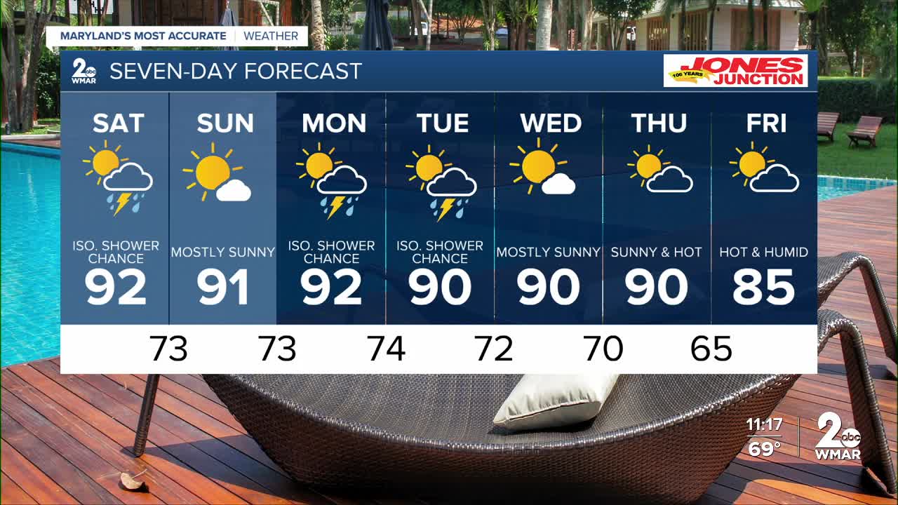
7 Day Forecast:
Friday A chance of showers and thunderstorms. Mostly cloudy, with a high near 79. East wind around 5-10 mph.
Friday Night A chance of showers and thunderstorms. Mostly cloudy, with a low around 72. East wind 5-10 mph.
Saturday A slight chance of showers and thunderstorms. Cloudy, then gradually becoming mostly sunny, with a high near 92.
Saturday Night A chance of showers and thunderstorms. Mostly cloudy, with a low around 73.
Sunday A slight chance of showers and thunderstorms south. Mostly sunny, with a high near 91.
Sunday Night Partly cloudy, with a low around 73.
Monday Showers and thunderstorms. Partly sunny, with a high near 92.
Monday Night Showers and thunderstorms likely. Mostly cloudy, with a low around 74.
Tuesday Showers likely and possibly a thunderstorm. Partly sunny, with a high near 90.
Tuesday Night Showers and thunderstorms likely. Partly cloudy, with a low around 72.
Wednesday Mostly sunny, with a high near 90.
Wednesday Night Mostly clear, with a low around 70.
Thursday Partly cloudy, with a high near 90.
Thursday Night Partly cloudy, with a low around 65.
Independence Day Sunny, with a high near 85.

