

BALTIMORE — I hope you enjoyed the beautiful weather over the last few days, because we're tracking several changes by the middle of this week!
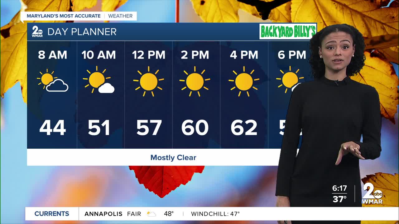
In the short term, you can expect a dry Tuesday, with a passing shower across southern Maryland.
Our attention then turns to strong upper-level low that will traverse the Tennessee Valley Wednesday. We expect rain to push into Maryland Wednesday night, and last through Thursday. Rainfall amounts will fall between 1-2" with the highest totals along the Eastern Shore.
Our biggest concern will be for gusty winds, as winds will be between 25-40 mph Thu and Fri. The strongest winds are expected to occur Friday morning as there may be winds over 40+ mph for some of you! Fortunately, we dry out just in time for Trick-Or-Treating on Friday night!

Tuesday A slight chance of showers after 2pm. Partly sunny, with a high near 57.
Tuesday Night A chance of showers, mainly after 8pm. Mostly cloudy, with a low around 50.
Wednesday A chance of rain, mainly after 2pm. Mostly cloudy, with a high near 56.
Wednesday Night Rain, mainly after 8pm. Low around 49.
Thursday Rain. High near 62.
Thursday Night Rain likely, mainly before 8pm. Mostly cloudy, with a low around 49.
Friday Partly sunny, with a high near 57.
Friday Night Partly cloudy, with a low around 43.
Saturday Mostly sunny, with a high near 59.
Saturday Night Partly cloudy, with a low around 43.
Sunday Mostly sunny, with a high near 59.

