


Good Wednesday evening!
A few isolated showers are possible tonight, with a couple of snowflakes mixing in—especially after midnight.
Thursday looks sunny, but don’t let that fool you. It’ll be much colder and noticeably windier. Highs will struggle to reach freezing, and wind gusts could range from 25 to 35 mph.
Dry but cold weather sticks around through Friday.
The weekend forecast is shaping up to be pretty interesting. We’re watching two separate storm systems that could impact the region. The first is a fast-moving system arriving from the west on Saturday, with the potential for a few snow flurries or brief snow showers. Impacts look very minimal, with little to no accumulation expected.
The second system arrives from the south on Sunday and may become a coastal storm late in the day. While the models agree a storm will develop, there’s still uncertainty on its exact track. A farther west track could bring accumulating snow to our area, while a farther east track would likely keep us dry.
There are still plenty of details to sort out, but we should have a clearer picture by tomorrow.
Stay warm,
Dylan


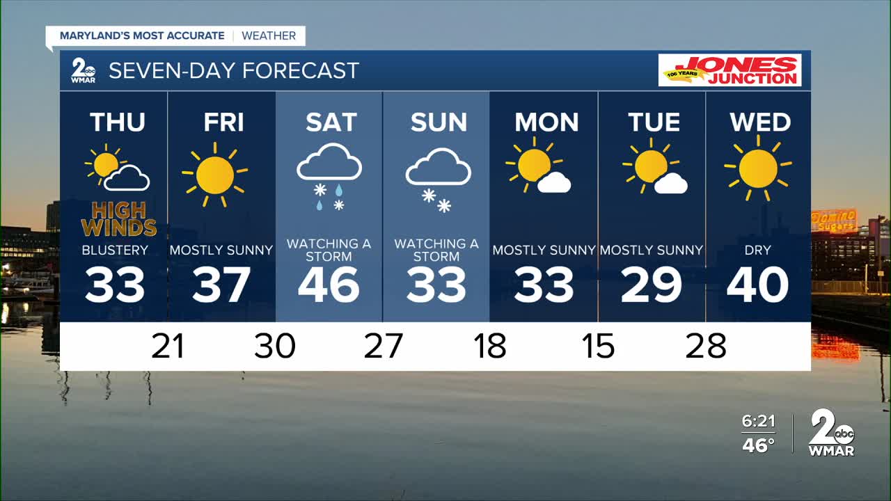
7 Day Forecast:
Thursday A chance of rain and snow. Mostly cloudy, with a high near 32.
Thursday Night A chance of rain and snow. Mostly cloudy, with a low around 19.
Friday Partly cloudy, with a high near 36.
Friday Night Mostly clear, with a low around 30.
Saturday A chance of snow. High near 44.
Saturday Night Mostly cloudy, with a low around 24.
Sunday A chance of snow. Mostly sunny, with a high near 33.
Sunday Night Partly cloudy, with a low around 19.
M.L.King Day Mostly sunny, with a high near 33.
Monday Night Partly cloudy, with a low around 17.
Tuesday Mostly sunny, with a high near 30.

