

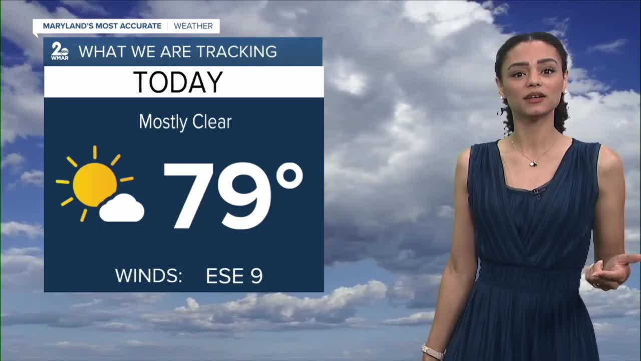


Good Tuesday night!
Fall was in the air today, especially this morning, with some towns dropping into the 40s!
Summer will make a comeback over the next few days as temperatures climb back into the mid-80s, along with increasing humidity.
A weak cold front will cross the mountains of western Maryland Thursday night. Although I expect most of the rain to fizzle as it moves east of the mountains, a stray shower or two is certainly possible.
Looking ahead, the weekend will be relatively dry overall. However, the pattern looks to turn more unsettled beginning Sunday, with a better chance for showers continuing into next week.
Dylan

Wednesday
Sunny, with a high near 85. Calm wind becoming south 5 to 7 mph in the morning.
Wednesday Night
Partly cloudy, with a low around 66. South wind around 5 mph becoming calm in the evening.
Thursday
Mostly sunny, with a high near 88. South wind 3 to 8 mph.
Thursday Night
A chance of showers and thunderstorms before 11pm, then a chance of showers between 11pm and 2am. Mostly cloudy, with a low around 71. South wind around 5 mph becoming light and variable in the evening. Chance of precipitation is 30%.
Friday
Mostly sunny, with a high near 84.
Friday Night
Partly cloudy, with a low around 63.
Saturday
Partly sunny, with a high near 79.
Saturday Night
A slight chance of showers after 2am. Mostly cloudy, with a low around 65. Chance of precipitation is 20%.
Sunday
A slight chance of showers, then a chance of showers and thunderstorms after 2pm. Partly sunny, with a high near 84. Chance of precipitation is 40%.
Sunday Night
A chance of showers and thunderstorms. Mostly cloudy, with a low around 67. Chance of precipitation is 40%.
Monday
A chance of showers and thunderstorms. Partly sunny, with a high near 81. Chance of precipitation is 40%.
Monday Night
A chance of showers and thunderstorms. Mostly cloudy, with a low around 65. Chance of precipitation is 50%.
Tuesday
A chance of showers. Mostly cloudy, with a high near 78. Chance of precipitation is 50%.

