



BALTIMORE — Happy Friday!
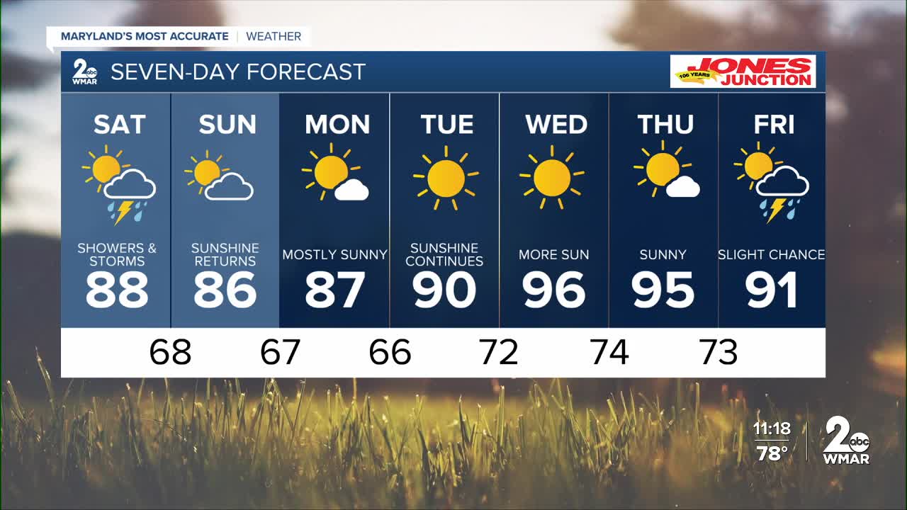
The evening remains calm overnight. Muggy temperatures arrive for the start to the weekend, The Storm Prediction Center has placed the area under a Marginal Risk (level 1/5), with strong gusty winds and heavy rainfall being the biggest concerns. The chance for rain and storms extends into the first half of the weekend, with highs in the upper-80s on Saturday and Sunday. It will feel more pleasant on Monday before the heat ramps up mid-week!

7 Day Forecast:
Today Scattered showers and thunderstorms. Increasing clouds, with a high near 90. West wind 5-10 mph.
Tonight Isolated showers and thunderstorms. Mostly cloudy, with a low around 71. Light west wind.
Saturday Scattered showers and thunderstorms. Mostly cloudy, with a high near 86.
Saturday Night Showers and thunderstorms likely. Mostly cloudy, with a low around 68.
Sunday Mostly sunny, with a high near 86.
Sunday Night Partly cloudy, with a low around 67.
Monday Mostly sunny, with a high near 85.
Monday Night Partly cloudy, with a low around 66.
Tuesday Sunny, with a high near 88.
Tuesday Night Mostly clear, with a low around 70.
Wednesday Sunny, with a high near 95.
Wednesday Night Mostly clear, with a low around 74.
Thursday Mostly sunny, with a high near 95.
Thursday Night Partly cloudy, with a low around 73.
Friday A slight chance of showers and thunderstorms. Mostly sunny, with a high near 91.

