


BALTIMORE — Good Thursday evening!
Let’s start with the good news: our weekend bomb cyclone is expected to miss us. For most of the area, the weekend stays snow-free.
The Delmarva Peninsula will take a glancing blow from the storm, with strong winds, coastal flooding, and a few inches of snow possible from Saturday night into Sunday morning. If the storm tracks a bit farther west, a quick coating to around 2 inches of snow could fall along the Eastern Shore, with flakes possibly reaching as far west as Annapolis and Baltimore.
We’re definitely dodging a bullet here—if the storm tracked just 100 miles farther west, we could have been looking at more snow than last weekend.
Cold air sticks around through Sunday, but we finally climb back to around freezing by early next week. That should help start melting some of the snow already on the ground.
Have an amazing night!
Dylan

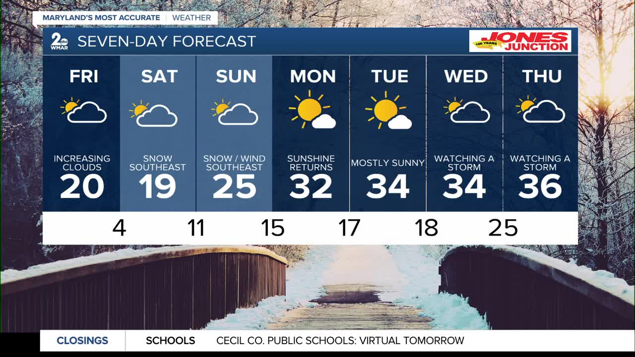
7 Day Forecast:
Friday Mostly sunny, with a high near 20. Wind chill values as low as -4.
Friday Night Mostly cloudy, with a low around 6.
Saturday A slight chance of snow. Mostly cloudy, with a high near 19.
Saturday Night A chance of snow. Mostly cloudy, with a low around 11.
Sunday Mostly cloudy, with a high near 25.
Sunday Night Partly cloudy, with a low around 15.
Monday Sunny, with a high near 32.
Monday Night Mostly clear, with a low around 17.
Tuesday Mostly sunny, with a high near 34.
Tuesday Night Partly cloudy, with a low around 18.
Wednesday Mostly sunny, with a high near 34.

