



BALTIMORE — Good Monday night!
A warm front will lift north through the region overnight, bringing the chance for an isolated shower or two after midnight and into Tuesday morning.
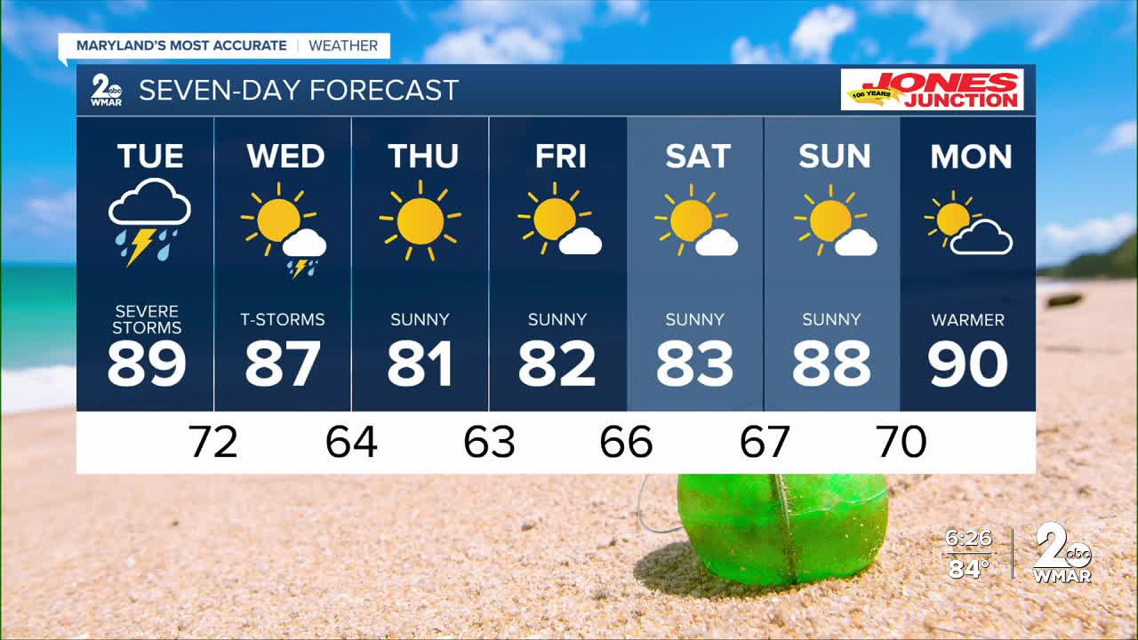
Our concern then turns to Tuesday afternoon, when a strong cold front will sweep across the area. That front is expected to trigger scattered strong to severe thunderstorms. All modes of severe weather are possible, including damaging wind gusts, large hail, and even a few tornadoes. The good news is that the storms should move through quickly, making the flooding threat relatively low. Right now, the greatest risk appears to be between 1 PM and 7 PM, when daytime heating will be at its peak.
A few additional showers and thunderstorms could redevelop Wednesday afternoon behind the cold front, although the greatest chance appears to be across southern Maryland.
Looking ahead, a refreshing stretch of weather arrives for the end of the week. High pressure and northerly winds will bring plenty of sunshine, lower humidity, and cooler temperatures from Thursday through Saturday.
Dylan
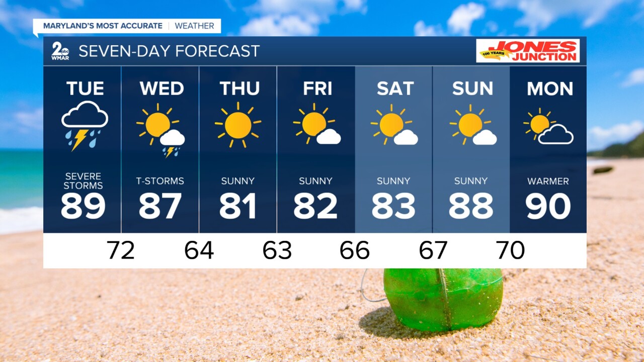
7 Day Forecast:
Tuesday A chance of showers and thunderstorms. High near 89.
Tuesday Night Showers and possibly a thunderstorm. Low around 72.
Wednesday Showers likely, with thunderstorms. Partly sunny, with a high near 88.
Wednesday Night A chance of showers and thunderstorms. Mostly clear, with a low around 64.
Thursday Sunny, with a high near 82.
Thursday Night Mostly clear, with a low around 64.
Friday Sunny, with a high near 85.
Friday Night Partly cloudy, with a low around 67.
Saturday A slight chance of showers. Mostly sunny, with a high near 85.
Saturday Night Partly cloudy, with a low around 68.
Sunday Mostly sunny, with a high near 86.

