


It is the 10th anniversary of the Blizzard of 2016. The Blizzard of 2016 goes down in the history books as the largest snowstorm event on record to hit the Baltimore area. On January 22-23rd, 2016 nearly 30" of snow was measured at BWI with over three feet of snow across our northern areas. Hagerstown and northern Potomac saw about 40"!
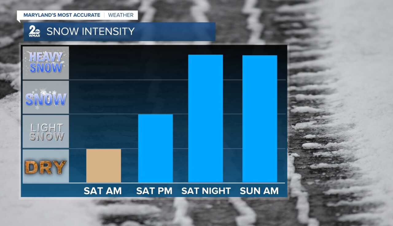
It feels a little eerie to be tracking another significant winter storm almost 10 years later. Snowfall totals wont match what we saw back in 2016, but it will still be impactful. On average, 6-12" of snow can be expected, with the majority of the snow accumulating late Saturday night through Sunday morning. Freezing rain and sleet mixes in from the south midday Sunday, with the highest probabilities of icing occurring along and southeast of I-95. Snowfall totals will be lower along the Eastern Shore.

Email: stevie.daniels@wmar.com
Facebook: www.facebook.com/StevieDanielsWX
X: www.twitter.com/StevieDanielsWX
Instagram & TikTok: stevie_daniels_

