

Hurricane Erin is moving away from North Carolina now, and will take on a more northeasterly track and picks up speed throughout the day. Even though it won't make landfall along the east coast, it will still show off its power!

Tidal and coastal flooding will be the main concerns along with dangerous surf conditions and life-threatening rip current risks. Coastal Flood Warnings are in place for areas in dark green through Friday. Flooding may become severe enough to impact both coastal and bayside communities.
- Coastal inundation: 1-2 ft
- Destructive wave heights in surf zones: 8-12 ft
- Significant beach erosion

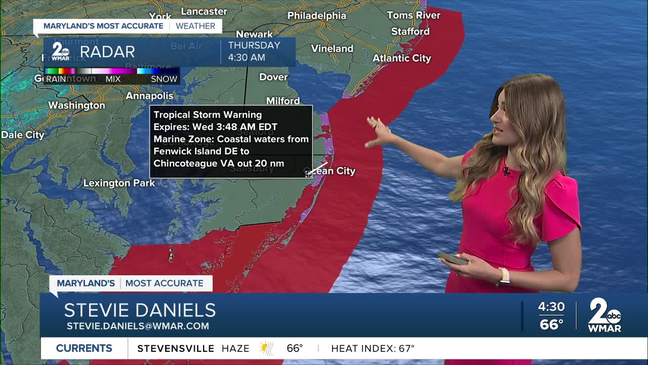
Tropical Storm Warnings are underway from North Carolina to New Jersey as tropical storm force winds are possible. The northeast wind gusts along the Delaware/Maryland/Virginia beaches could range between 40-50 mph through the afternoon as Erin makes it's closet approach to the Mid-Atlantic.

There are two areas of interest that we are keeping an eye on! The area near the Leeward Islands has a 70% of forming over the next several days. Most of the model guidance has the tropical wave in red curving to the north away from the coast! Meanwhile, in the eastern tropical Atlantic, a tropical wave is starting to become more organized, but overall environmental conditions become unfavorable for long-term tropical development over the next several days.

The next name up on the list is Fernand!

#StevieDanielsWX #Erin
Email: stevie.daniels@wmar.com
Facebook: www.facebook.com/StevieDanielsWX
X: www.twitter.com/StevieDanielsWX
Instagram & TikTok: stevie_daniels_

