
Records are made to be broken and that's exactly what happened!
Yesterday we set a daily record at BWI for rainfall. We received 1.55" of rain breaking the old record of 1.22" set back in 1989.

All the rain yesterday and light winds led to patchy dense fog this morning.
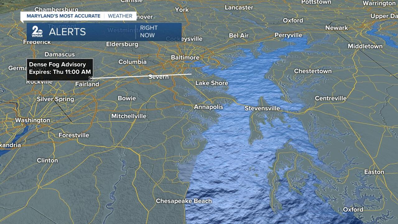
Visibility has been reduced to a quarter mile or less in spots.

The fog will burn off and clouds will decrease, so before the day is over we may see a few peeks of sunshine . Isolated showers are possible this evening with more showers on tap Friday morning.
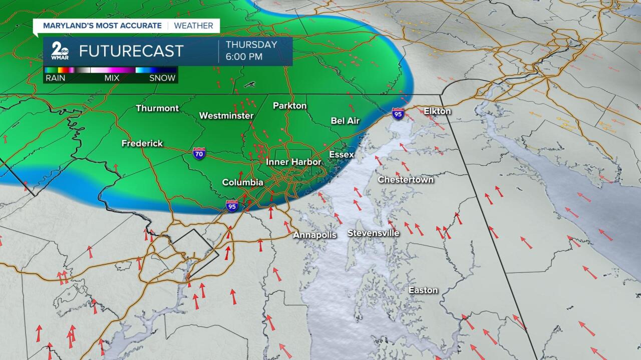
A cold front will slice through tomorrow and clearing will take place behind the front.

Therefore, sunshine is on tap tomorrow afternoon into the the start of the weekend.
Ahead of the cold front, temps will warm into the upper 70s and low 80s, which will bring record highs into view.

The forecast high for tomorrow is 80 degrees. The record high is 84 degrees set back in 1921. Highs will flirt with a 100 year old record!
Stay tuned!

