


Get the rain jackets and umbrellas out of the closet because you will need them starting Wednesday! An area of low pressure that is sliding through the central portion of the United States is producing heavy rain and scattered instances of flooding. Rain stretches over 1200 miles from southern Canada down to Texas!

This storm system will approach the Mid-Atlantic region and will bring widespread showers to the area during the morning commute on Wednesday. Sporadic showers linger into Wednesday afternoon/evening, with some embedded pockets of moderate to heavy rain at times. You may even hear a few rumbles of thunder.

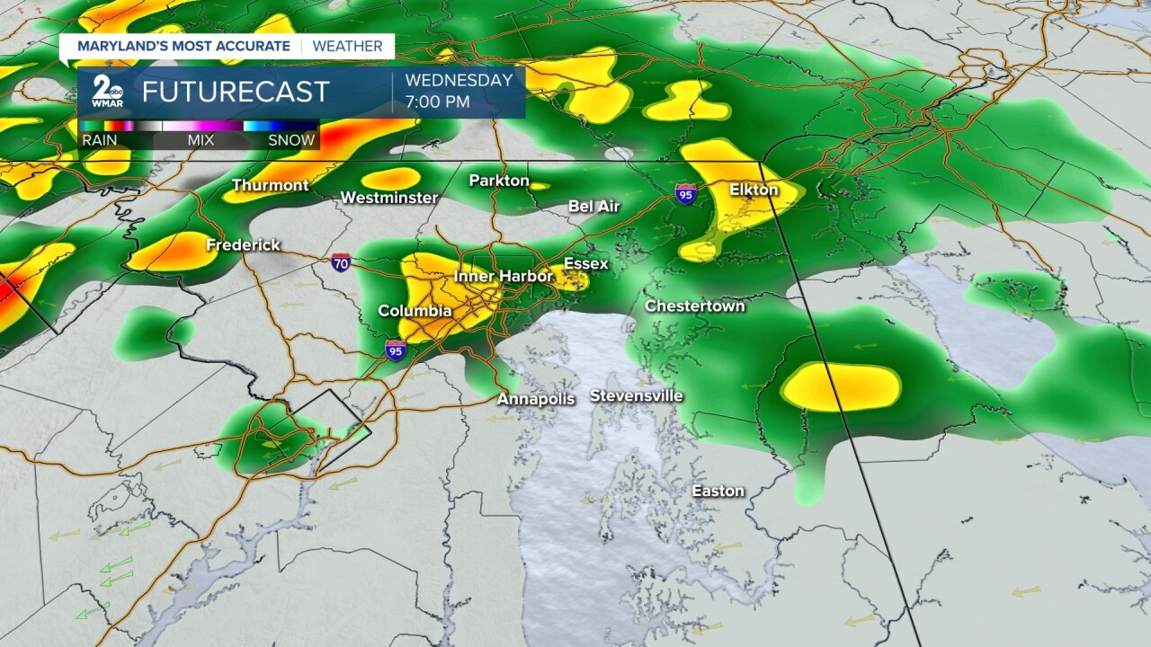
Overall, rainfall totals between .50-1.150" can be expected through Thursday morning. This could result in isolated instances of flooding, especially across the northwestern portion of the state.

There is a low-end 5% chance of excessive rainfall leading to flash flooding within 25 miles of a given point in central Maryland on Wednesday. Areas that experienced heavy rainfall last week, will be most at risk for flooding. So far, 3.81" of rain has been measured at the BWI airport since May 1st. This is extremely close to how much rain we normally see throughout the month of May (3.85").

#StevieDanielsWX #Rain
Email: stevie.daniels@wmar.com
Facebook: www.facebook.com/StevieDanielsWX
X: www.twitter.com/StevieDanielsWX
Instagram & TikTok: stevie_daniels_

