



BALTIMORE — Good Tuesday night!
Our next weather maker rolls in Wednesday, delivering much-needed rainfall to the region. Light showers develop late Wednesday morning as a warm front lifts to the north. These showers may hinder any severe storms we see later in the day. As an approaching cold front moves in late evening, we’ll see an uptick in storm activity. Although there won’t be a lot of instability, we will see winds changing speed and direction with height (i.e., wind shear), which leads me to believe storm development cannot be ruled out.
The rain wraps up between 7–9 PM Wednesday, then we’ll see a noticeable cool down Thursday and Friday. Nighttime lows will remain in the 40s near the metro, with upper 30s north and west of town. Although a freeze is unlikely, there may be areas of patchy frost Saturday night near Carroll and Frederick counties.
A weak weather maker slides through Friday evening, bringing a few light sprinkles, but most models have shifted toward a drier solution for the weekend!
Dylan


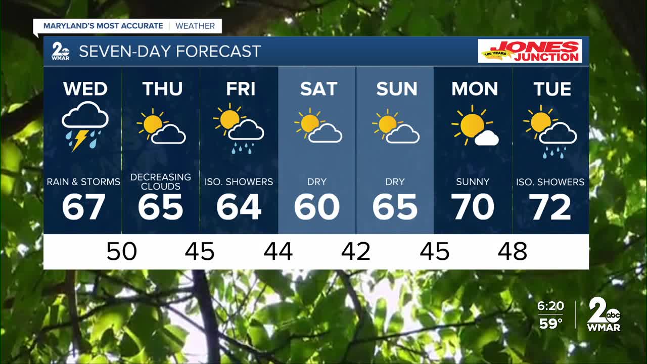
7 Day Forecast:
Wednesday Showers, with thunderstorms. High near 67.
Wednesday Night Showers and possibly a thunderstorm. Low around 50.
Thursday A chance of showers. Partly cloudy, with a high near 65.
Thursday Night Mostly clear, with a low around 45.
Friday Partly cloudy, with a high near 64.
Friday Night A chance of showers. Mostly cloudy, with a low around 44.
Saturday A chance of showers. Partly sunny, with a high near 59.
Saturday Night Partly cloudy, with a low around 42.
Sunday Partly cloudy, with a high near 64.
Sunday Night Partly cloudy, with a low around 45.
Monday Mostly sunny, with a high near 71.

