

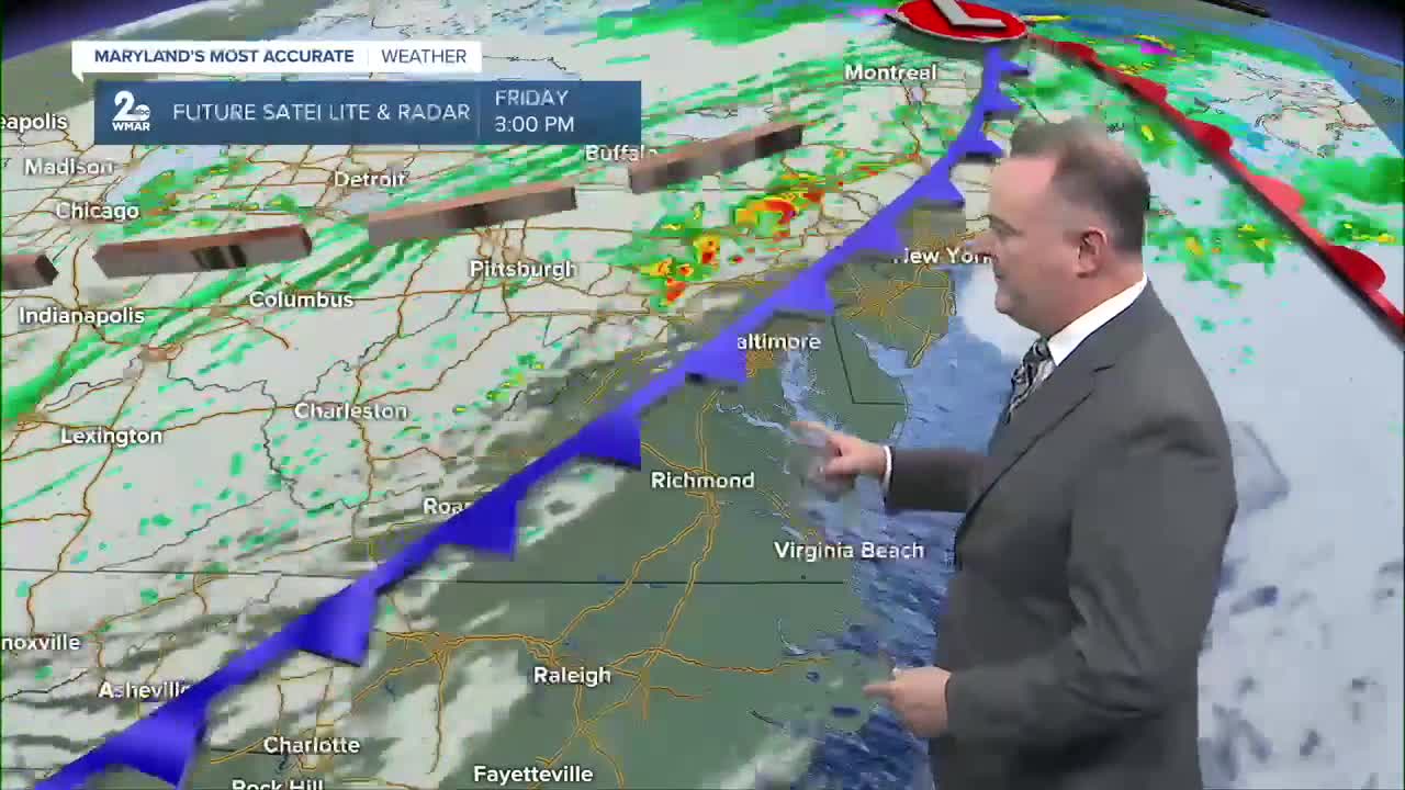

Yesterday's cold front will pass through our area this morning as a warm front, and the afternoon will end up very warm and unseasonably humid, making for an unstable atmosphere. Another cold front will overtake us this afternoon and evening with a squall line of thunderstorms during the evening rush. The storms will be strong, but a few could become severe, especially in northern Maryland, and especially in terms of damaging winds.
Much colder air will flow in behind the front tonight and set us up for a chilly weekend. Many spots north and west of Baltimore could have their first frost and freeze of the season early Sunday morning.
High pressure will build in for next week and bring mainly dry, sunny, and seasonable conditions.

Friday
Showers likely and possibly a thunderstorm, mainly after 5pm. Mostly cloudy, with a high near 81. Southwest wind 7 to 13 mph, with gusts as high as 23 mph. Chance of precipitation is 60%. New rainfall amounts of less than a tenth of an inch, except higher amounts possible in thunderstorms.
Friday Night
Showers likely and possibly a thunderstorm. Mostly cloudy, with a low around 48. West wind around 11 mph, with gusts as high as 30 mph. Chance of precipitation is 70%.
Saturday
A chance of showers before 8am. Mostly sunny, with a high near 56. Chance of precipitation is 30%.
Saturday Night
Mostly clear, with a low around 38.
Sunday
Sunny, with a high near 58.
Sunday Night
Mostly clear, with a low around 41.
Monday
Sunny, with a high near 62.
Monday Night
Partly cloudy, with a low around 46.
Tuesday
Mostly sunny, with a high near 66.
Tuesday Night
Partly cloudy, with a low around 48.
Wednesday
Sunny, with a high near 67.

