

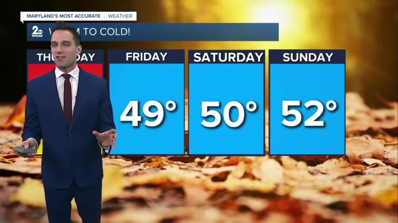


BALTIMORE — Happy Thursday! Keep the umbrella nearby. Rain showers finally return, making for a damp start to your morning commute. Showers will eventually become more spotty this afternoon with conditions drying out this evening. Get ready for a big cooldown as the front exits to our east! We’re going to see temperatures fall sharply from those mid-60s during the day right down into the low 40s by the time you wake up on Friday morning. It is a total transition to much colder weather that’s going to stick with us through the weekend.
To make it feel even more like late fall, it’s going to get pretty breezy as that system passes through. I’m tracking wind gusts that could reach up to 25 miles per hour. It’s the kind of wind that’ll blow the autumn leaves around and definitely add a bit of a bite to the air as that colder flow kicks in tomorrow evening. You will definitely want to have the heavier jacket ready to go for Friday morning.
Stay sunny!
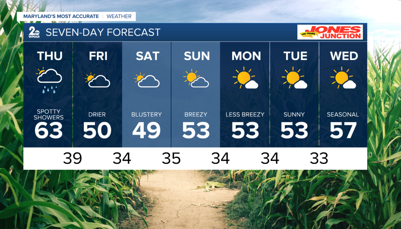
7 Day Forecast:
Thursday Rain likely. Mostly cloudy, with a high near 63. Light and variable wind becoming west 5-10 mph in the afternoon.
Thursday Night A chance of rain. Mostly cloudy, with a low around 39. Northwest wind 5-10 mph, with gusts as high as 23 mph.
Friday A chance of rain. Mostly cloudy, with a high near 50.
Friday Night Mostly cloudy, with a low around 34.
Saturday Partly sunny, with a high near 49.
Saturday Night Mostly clear, with a low around 35.
Sunday Mostly sunny, with a high near 53.
Sunday Night Partly cloudy, with a low around 34.
Monday Mostly sunny, with a high near 53.
Monday Night Partly cloudy, with a low around 34.
Tuesday Mostly sunny, with a high near 53.
Tuesday Night Mostly clear, with a low around 33.
Wednesday Sunny, with a high near 57.

