

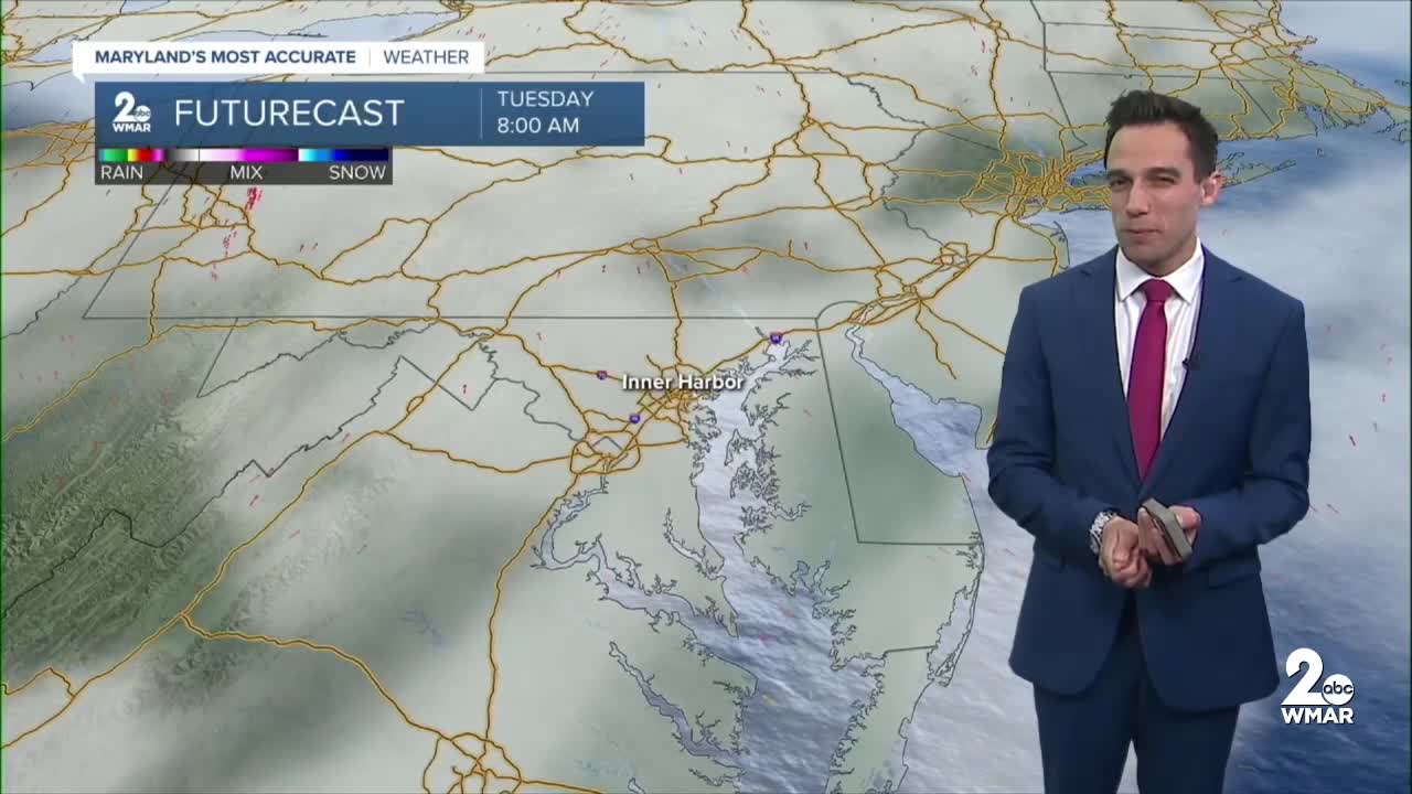


Happy Tuesday! Patchy fog develops this morning near the bay shoreline and other low-lying areas. You can expect a mixture of sun and clouds, with temperatures in the low-70s! Southerly winds will continue to boost temperatures into the mid-70s mid-week! A cold front approaches the region later this week, bringing renewed chances for rain showers. Widespread showers are expected throughout Thursday. A few thunderstorms are also possible Thursday afternoon as the cold front pushes east. Rainfall totals are expected to range from half an inch to over an inch, providing some much-needed rainfall after our extended stretch of dry weather.
Have a sunny day!
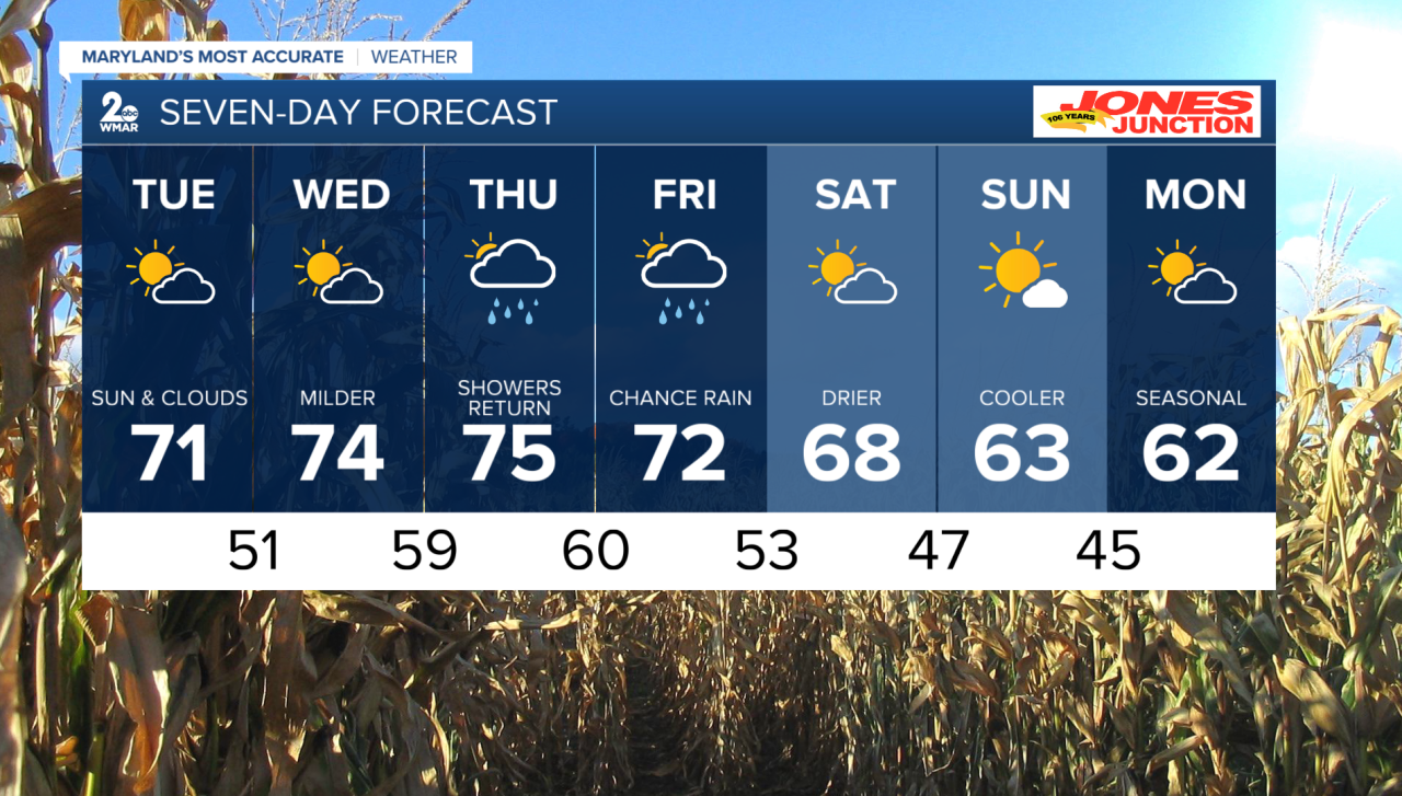
7 Day Forecast:
Tuesday Patchy fog. Otherwise, partly sunny, with a high near 71. Calm wind becoming south 5-10 mph in the morning.
Tuesday Night Patchy fog. Otherwise, partly cloudy, with a low around 51. South wind around 5-10 mph.
Wednesday Patchy fog. Otherwise, mostly sunny, with a high near 74.
Wednesday Night Mostly cloudy, with a low around 59.
Thursday A chance of rain. Mostly cloudy, with a high near 75.
Thursday Night A chance of rain and thunderstorms. Mostly cloudy, with a low around 60.
Friday Rain and possibly a thunderstorm. High near 72.
Friday Night A chance of rain. Mostly cloudy, with a low around 53.
Saturday Mostly sunny, with a high near 68.
Saturday Night Partly cloudy, with a low around 47.
Sunday Mostly sunny, with a high near 63.
Sunday Night A chance of rain. Partly cloudy, with a low around 45.
Monday Partly cloudy, with a high near 62.

