

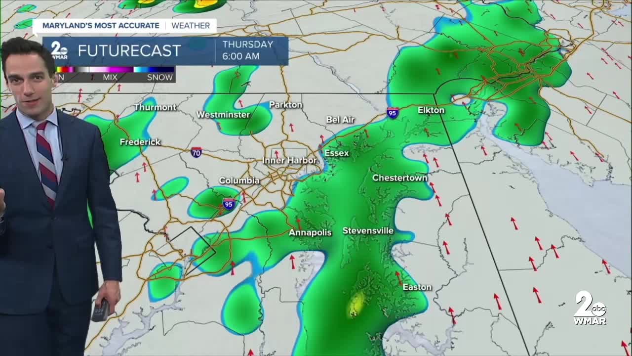


BALTIMORE — Happy Wednesday! Feeling more like late-September, with highs running 10–15° above average! Expect some patchy fog in the morning, followed by mostly sunny skies and unseasonably warm temperatures. Rain chances return Thursday and Friday. Light showers will develop early Thursday ahead of a cold front, followed by a second round of rain Thursday night into Friday. Rainfall totals will be highest along the Eastern Shore, where 0.50–1.00" is likely. Closer to the Baltimore metro area, expect around a quarter to a half inch of rain. Dry skies are expected this weekend with seasonal temperatures!
Stay sunny!
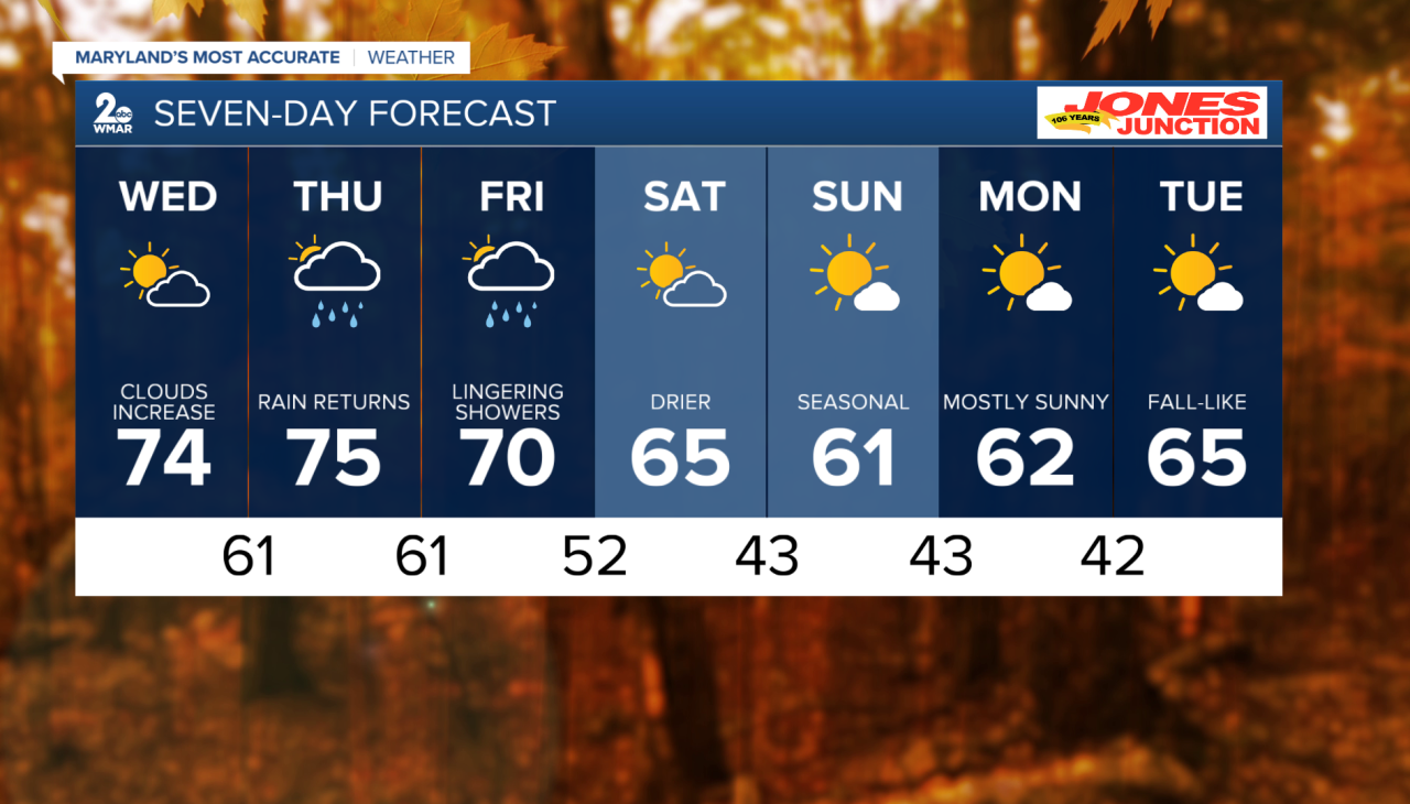
7 Day Forecast:
Wednesday Patchy fog. Otherwise, mostly sunny, with a high near 74. Calm wind becoming south 5-10 mph in the morning.
Wednesday Night Increasing clouds, with a low around 61. South wind around 5-10 mph.
Thursday A chance of showers. Mostly cloudy, with a high near 75.
Thursday Night Showers likely. Mostly cloudy, with a low around 61.
Friday Rain likely. Mostly cloudy, with a high near 70.
Friday Night Partly cloudy, with a low around 52.
Saturday Mostly sunny, with a high near 65.
Saturday Night Partly cloudy, with a low around 43.
Sunday Mostly sunny, with a high near 61.
Sunday Night Mostly clear, with a low around 43.
Monday Sunny, with a high near 62.
Monday Night Mostly clear, with a low around 42.
Tuesday Sunny, with a high near 65.

