



BALTIMORE — Good Monday night!
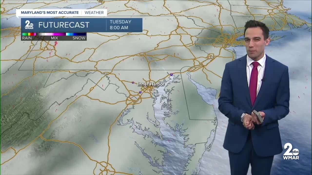
Our stretch of dry weather continues across Baltimore as we kick off the first week of November! Clouds will increase Monday night as warmer, more humid air begins moving into the region. Patchy fog may develop early Tuesday morning, especially near the Chesapeake Bay, rivers, and other low-lying areas. Tuesday will feature a mix of clouds and sunshine, with temperatures continuing to climb as southerly winds bring warmer air into Maryland. By Wednesday, afternoon highs will reach the mid-70s, running well above average for early November!
Big changes arrive late Wednesday night into Thursday as a cold front approaches the region. Rain chances will increase overnight, with widespread showers expected throughout Thursday. A few thunderstorms are also possible Thursday afternoon as the cold front pushes east. Rainfall totals are expected to range from half an inch to over an inch, providing some much-needed rainfall after our extended stretch of dry weather. While the rain may put a damper on outdoor plans, it'll certainly be beneficial for the region!
Dylan

7 Day Forecast:
Tuesday Patchy fog before 8am. Otherwise, mostly sunny, with a high near 71.
Tuesday Night Mostly clear, with a low around 51.
Wednesday Mostly sunny, with a high near 73.
Wednesday Night A slight chance of rain. Mostly cloudy, with a low around 58.
Thursday Rain likely. Cloudy, with a high near 73.
Thursday Night Rain likely. Mostly cloudy, with a low around 57.
Friday A chance of rain. Mostly cloudy, with a high near 71.
Friday Night A chance of rain. Mostly cloudy, with a low around 52.
Saturday Mostly sunny, with a high near 68.
Saturday Night Mostly clear, with a low around 47.
Sunday Mostly sunny, with a high near 65.

