

NISAR, a first-of-its-kind satellite will provide scientists and communities across the globe with unprecedented insight into our planet’s surface.
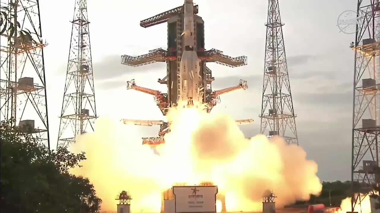
It’s a collaboration between NASA and the Indian Space Research Organization (ISRO). NISAR, short for NASA-ISRO Synthetic Aperture Radar, will launch from ISRO’s site in Sriharikota, India on July 30.
“Two agencies working on opposite sides of the world toward this incredible vision that is NISAR,” said Shanna McClain, NISAR Program Applications Lead and Disasters Program Manager at NASA. “Whether it’s food security, flood mitigation, or fire protection, there isn’t a decision that NISAR won’t be able to support.”
NISAR will be the first radar satellite in space to systematically map Earth using two radar frequencies, L-band and S-band. This dual-band radar system can penetrate several centimeters below the earth’s surface, giving scientists insight into potential landslides.
Even during a severe storm, when cloud cover makes visibility tough, the satellite’s radars can detect where flooding is happening.
“NISAR is a change mission,” McClain said. “Every six days, we’re getting an image of the same location on Earth. That helps us understand how ecosystems are changing, how built communities are evolving, and what risks they may face.”
NISAR’S data will help researchers and decision-makers:
- Monitor natural disasters like earthquakes, landslides, and floods
- Track soil moisture and vegetation health to support agriculture and food security
- Measure the pace and effects of climate change
- Provide insights into Earth’s crust
“We could stream a movie every day for the next 100 years and still not reach the amount of data NISAR will collect,” McClain explained.
In Baltimore, McClain says the satellite could play a critical role in helping the city become more climate-resilient.
“So perhaps we've historically had floods go to a certain level inland in the city when we have rains or other types of events, but if we're seeing over time that that flooding is going more inland, that it's having larger impacts on the building, these are all insights that NISAR can help us assess,” she said.
The spacecraft, which is about the length of a pickup truck, will orbit earth 14 times a day, scanning nearly the entire planet. he mission will begin collecting data shortly after launch.
The launch broadcast begins at 7 a.m. ET. You can watch it live and learn more about the mission on NASA’s NISAR page.

